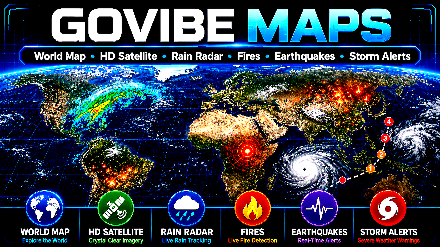
Today I’m launching Govibe Maps: a new world map with satellite views, rain radar, wildfire data, earthquakes, and storm alerts, built with public map data. It includes multiple map modes, from simple world view to HD satellite, Ultra World, and Extreme US layers for sharper and more detailed map exploration.
Try it : https://govibe.org/maps/
Try it : https://govibe.org/maps/
Today I’m launching Govibe Maps: a new world map with satellite views, rain radar, wildfire data, earthquakes, and storm alerts, built with public map data. It includes multiple map modes, from simple world view to HD satellite, Ultra World, and Extreme US layers for sharper and more detailed map exploration.
Try it : https://govibe.org/maps/